Joint basin syndicate

Your challenges
As syndicats mixtes, you deal with water management on a territorial scale and represent a several municipalities. Your mission transcends cities' territories to focus on key issues such as water management and resource planning.
Our solutions are designed with you in mind: MEWISO View lets you visualize your water resources in real time, and MEWISO Sim lets you test the impact of development scenarios on your territory's water resources.
Why are MEWISO View and MEWISO Sim essential to mixed syndicates?
MEWISO provides access to the most advanced technologies to meet the challenges of water resource management and climate change adaptation.
Our MEWISO View and MEWISO Sim solutions provide you with modern, innovative tools, enabling you to carry out your missions with maximum efficiency.
MEWISO View : Your forecasting and field partner for water resource monitoring
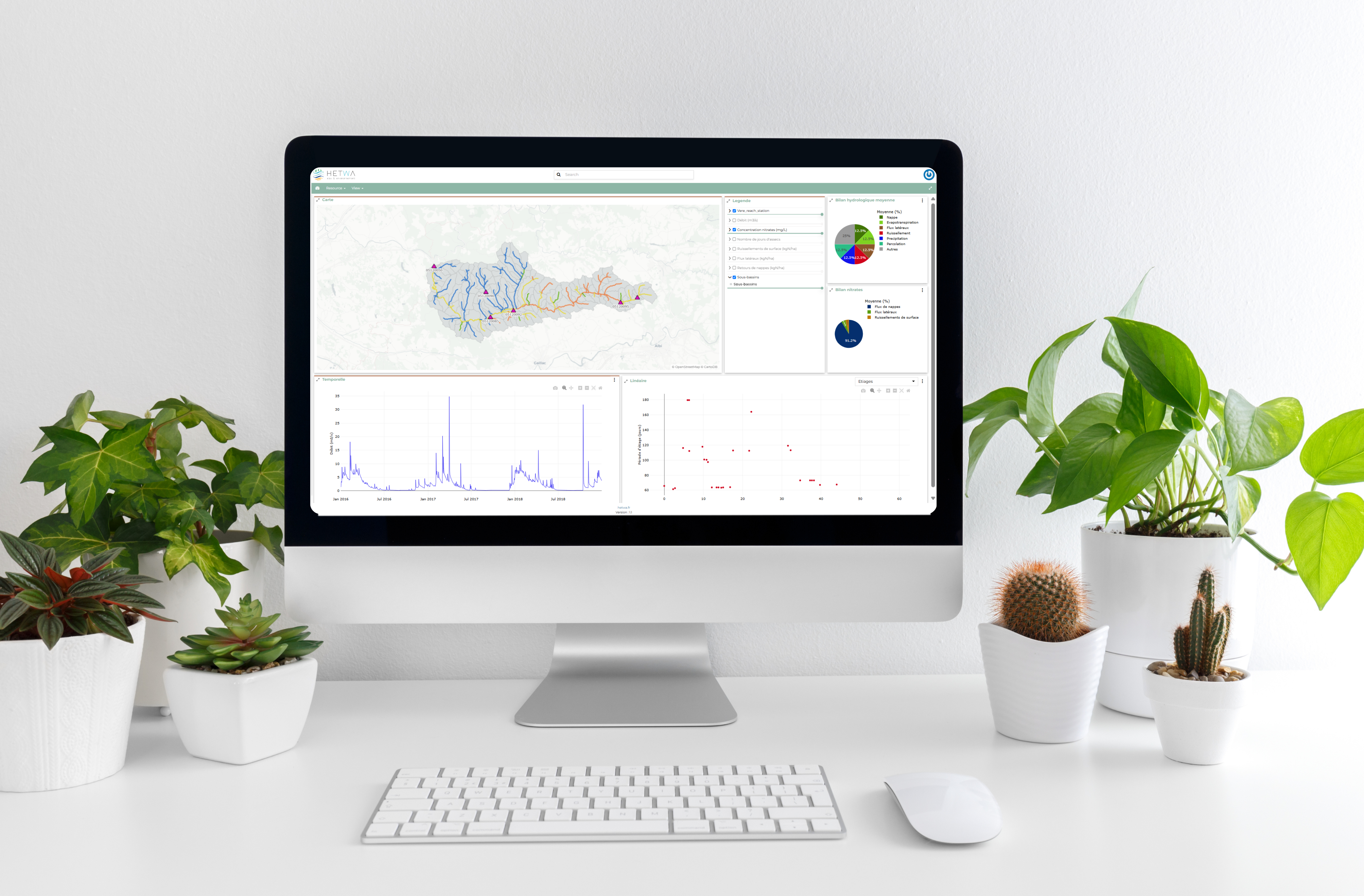
MEWISO View enables you to monitor the status of your water resources in real time, understand how they are evolving, and make informed decisions to protect them. What's more, the tool adapts and learns from territorial observation, so that information is never out of date.
Specially designed for join syndicates, and developed in collaboration with some of them, the platform is accompanied by MEWISO Field, an application dedicated to field monitoring. Observations are directly synchronized and accessible from the platform, to facilitate data entry and exploitation.
With MEWISO View, you can visualize and explore your entire territory. Depending on your needs, simple or complex models can be deployed to complete the information. In this way, MEWISO View supports you in visualizing water flows, anthropogenic pressures and meteorological conditions impacting your basin as simply as possible.
You stay informed about regulatory compliance and resource quality at all times.
You receive reports and dashboards tailored to the territory's issues and your needs, simplifying your day-to-day management. Modular content over time can be made lighter or more complex.
MEWISO Sim: Anticipate the impact of your developments and action programs
Understanding the future of a territory is crucial when it comes to development projects. Climate emergencies are intensifying the intensity and recurrence of hazards, and demographic growth is forcing us to make this projection. MEWISO Sim can help you understand the future of your territory. Thanks to its simulation modules based on different models (mechanistic, statistical and machine learning), MEWISO Sim simulates different scenarios, enabling you to understand the impact of development projects or changes in practices, and the associated uncertainties. This enables you to assess the effectiveness of each action before making decisions that will have a lasting impact on your territory.


With MEWISO Sim, you'll be able to...
♦ Compare
Test different development scenarios to see their impact on water resources and quality. Floods, droughts, water pollution... the applications are multiple and scalable according to your issues.
♦ Explore
Our watershed-scale simulations can integrate all local interactions and represent all processes, giving you a global and precise vision of your territory
♦ Optimise your decisions
Assess the effectiveness of different scenarios to select the most advantageous strategies, both environmentally and economically.

